
About Beacon Rock State Park
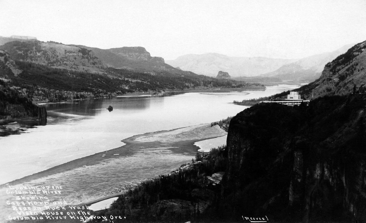
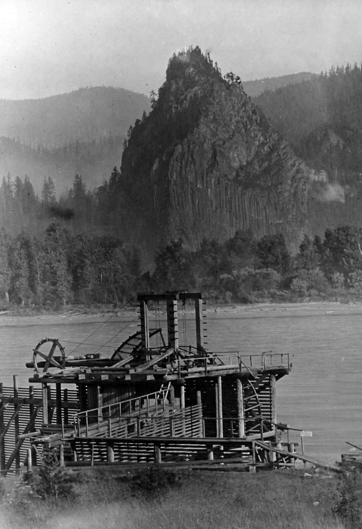
Beacon Rock State Park is a 4,458-acre Washington state park in the Columbia River Gorge National Scenic Area, named for the volcanic monolith that rises more than 840 feet above the Columbia River. The rock is the hard core of a cinder cone that erupted about 57,000 years ago. Henry J. Biddle bought it in 1915 to build a trail to the top, and his family gave it to the state, which accepted the land on April 14, 1935.
Park Facts
How Beacon Rock Formed
Beacon Rock belongs to the Boring Volcanic Field, a group of more than 80 lava flows, cinder cones and other features in the Portland-Vancouver area, named for the town of Boring, Oregon. These eruptions began about 2.6 million years ago and are separate from the volcanoes of the Cascade Range. Beacon Rock erupted about 57,000 years ago.
Then came the Ice Age floods. Around 15,000 years ago an ice dam holding back Glacial Lake Missoula in Idaho failed again and again, sending torrents of water, mud and ice through the Gorge at up to 60 miles an hour. The floods stripped away everything but the hard core of the cinder cone: the rock you see today.
Indigenous Lands
The park lies within the traditional territories of Sahaptian and Coast Salish peoples, whose descendants include members of the Confederated Tribes and Bands of the Yakama Nation, the Confederated Tribes of Warm Springs and other Chinook-speaking people. The rapids upstream, the Cascades of the Columbia, now drowned behind Bonneville Dam, were a center of Indigenous trade and fishing. A large village stood about a mile downstream from the rock.
Lewis and Clark
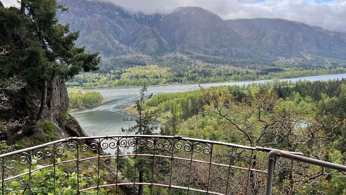
The Corps of Discovery passed Beacon Rock on November 2, 1805, just after getting through the Cascades of the Columbia. William Clark described "a remarkable high rock" about 800 feet high and named it the "Beaten Rock." The expedition saw it again on April 9, 1806, on the way home.
The Plan to Blast the Rock
After 1865 the land passed into private hands. In 1912 the owners sold a two-thirds interest to the Columbia Contract Company, which planned to dynamite Beacon Rock and barge the rubble to build jetties at the mouth of the Columbia. The plan died when a railroad won a court case to take part of the property for a riverside line.
Henry Biddle's Trail
In 1915 Vancouver geologist Henry J. Biddle bought Beacon Rock, he said, only so he could build a trail to its summit. He also bought 160 acres that included the top of Hamilton Mountain. With Charles Johnson he built the trail from October 1915 to April 1918 at a personal cost of $10,000: 4,500 feet long, 4 feet wide, with 52 switchbacks, 22 bridges and more than 100 concrete slabs. See the Beacon Rock Trail.
Becoming a State Park
Biddle died in 1928. His children offered the land to Washington, but Governor Roland Hartley vetoed state park funding throughout his 1929–1932 term. When Oregon's state parks superintendent, Samuel Boardman, proposed making it an Oregon park inside Washington, the public pushed back. On April 14, 1935, Washington accepted 265 acres from the Biddles, including Beacon Rock, Hamilton Mountain and today's campground and picnic areas. In 1938 Skamania County donated 2,227 more acres, making it one of the state's largest parks. A plaque honoring Biddle was dedicated in September 1937 before 300 people.
The Civilian Conservation Corps
CCC Company 2945 arrived in August 1935, and Company 5709, with enrollees from Arkansas, followed in October 1936; crews worked here until 1940. They restored land burned in a 1929 wildfire, built roads and trails, improved Biddle's trail, and built a caretaker house, community kitchens, and the campground and picnic areas. The Upper Campground still dates from 1935. See camping.
The Park Today
The state bought the Doetsch farm in 1987, adding the village site Lewis and Clark described. Today the park has more than 26 miles of roads and trails and 9,500 feet of Columbia River shoreline. It is run by Washington State Parks; this site is an independent guide.
About Beacon Rock State Park FAQ
How tall is Beacon Rock?
It rises more than 840 feet above the Columbia River. William Clark estimated about 800 feet in 1805.
How was Beacon Rock formed?
It is the core of a cinder cone that erupted about 57,000 years ago. The Ice Age floods, around 15,000 years ago, washed away the softer cone and left the hard core standing.
When did Beacon Rock become a state park?
Washington accepted the Biddle family's donation of 265 acres, including the rock, on April 14, 1935.
Where does the name Beacon Rock come from?
It first appears in Lewis and Clark's journals: William Clark wrote of the "Beaten Rock" when the expedition passed it in November 1805.
Is Beacon Rock a volcano?
It is the remains of one: the solid core of a small volcanic cinder cone in the Boring Volcanic Field.